
Home » Our offers – PRODUCTS AND SERVICES

PRODUCTS AND SERVICES

GEOSPATIAL INTELLIGENCE SERVICES

Data science

DATA ENGINEERING

SOFTWARE DEVELOPMENT

GEOANALYTICS PRODUCTS AND SOLUTIONS

Getting the most out of ARLAS®

Discover the solutions developed to accelerate your geospatial data project delivery.

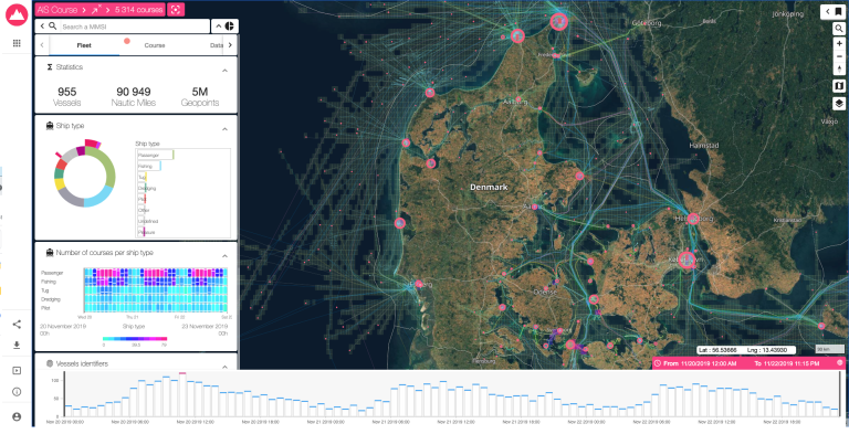
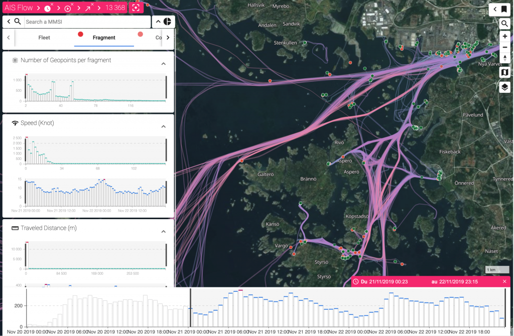
Screenshot of ARLAS® Gisaia's 3-in-1 software framework for developing geospatial intelligence products and services. ARLAS is open source and built on the latest big data technologies, enabling interoperability and scalability.

ARLAS®

Screenshot of ARLAS-EO® Gisaia's Earth observation catalogue builder, which can also be used as a spatial data infrastructure. ARLAS-EO has been used to develop several catalogues for space agencies, startups, and other institutions leveraging Earth observation data.

ARLAS-EO®

https://arlas.io/

ARLAS-CLOUD®

Explore your geo-big data without limits. ARLAS is used by people of diverse technical skills to gain valuable insights into their indicators. Work with historical or real-time data to view distributions over time and space.

Accelerate the distribution of your Earth observation products. ARLAS-EO helps you provide reliable access to your EO data. You can deploy it as it is or easily customise it to suit your product’s features and users’ needs.

Save valuable resources by deploying your product directly in our geo-analytic service environment. ARLAS-Cloud is hassle-free, expands or shrinks with your needs, and has flexible pricing.

DEPLOY ARLAS ON YOUR PREMISES

“Our team installs ARLAS on your infrastructure and ensure that it is smoothly integrated into your system.

We not only help you get started, but also provide reliable assistance to ensure your service is always working.

New !

ARLAS CLOUD FREE PACK

FEEDBACK FROM GISAïA PARTNERS AND CLIENTS

Our clients give us 5 stars for our expertise in geospatial technologies. See what some of them have to say about working with us.
Laurent Sabatié
Laurent Sabatié
Co-Founder, Skyline Partners
"Insurance business is about risk and, therefore, by definition, information. To underwrite a risk, an insurer must have access to the best information about the risk over time but also be able to store it, visualise it to better understand it, and access it quickly to develop its models. Insurance, on the other hand, suffers from technological inertia, which creates a great opportunity for GISAIA and their ARLAS platform. The demand for big data visualisation tools is rapidly emerging in the insurance industry, which is committed to investing significant budgets to improve their information analysis tools. However, the existing service offer is not of the same level of quality and experience as Gisaïa, which has developed ARLAS for the defence, space, and satellite industries."
Lionel Kerrello
Lionel KerrelloFounder, GEO4i
"Geo4i was confronted with the challenges of taking into account and processing massive data. In this context, we worked with the Gisaïa team who provided us with solutions with ARLAS as well as the expertise necessary for the development of our GeoSpace geospatial platform. We would like to thank Gisaia for their support and reactivity which allowed us to develop our platform much faster."
Population data is mapped on ARLAS. ARLAS is published by Gisaia. It can be used to develop products that easily integrate diverse types of geolocated data for exploration and analysis.

Choose an open-source solution

Promoting transparency, autonomy, and sustainability

ARLAS is available on GitHub under an Apache 2.0 licence