Gisaia and Survintel Announce Strategic Partnership to Advance Ground Deformation Monitoring for Predictive Maintenance Gisaia and Survintel have entered into a strategic partnership aimed at...

build interactive dashboards for Geospatial Analytics ARLAS-Builder is a comprehensive studio environment that we specifically designed for the creation and customisation of interactive ARLAS...
Explore Machine Learning Predictions with ARLAS Interactive Visualisations and Exploring Geospatial Data Science ML Prediction Results Find a reliable tool to Explore Your ML Predictions Our data...

Imagine effortlessly managing user roles and permissions within your organisation. With ARLAS-IAM, administrators can easily categorise users, ensuring precise control over data access. Gain peace of...

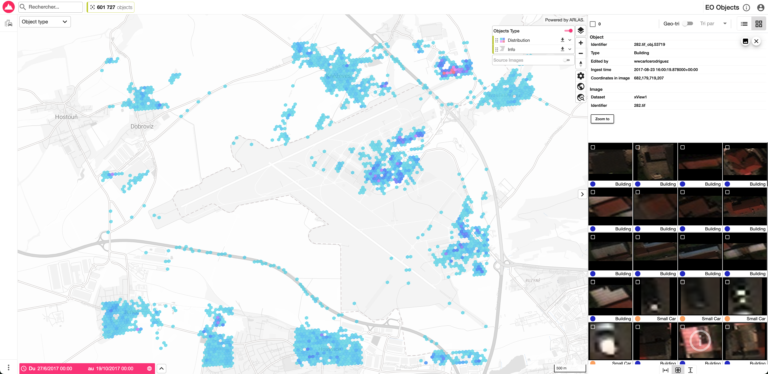
Gisaia’s ARLAS-EO Expands Global Reach with New Contracts in Africa, Europe, and South America Gisaia is proud to announce the expansion of ARLAS-EO into three new countries across three...

Do you provide market insights services to real estate agents? If you build real estate market evaluation tools for agents or the public, this article aims to show you how you could...
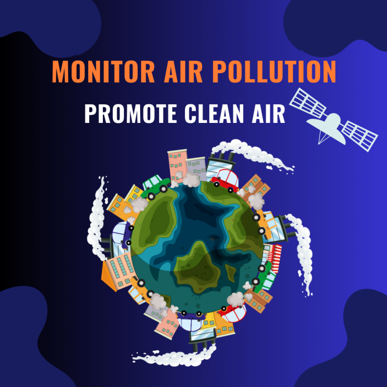
“The GRASP software makes it possible to use the satellite measurements to establish whether particles are likely produced by industry or swept in from natural sources such as wildfire smoke or desert...
For decades, the amount of data that exists in the world has been growing exponentially, to reach a projected 175 Zetabyte in 2025. To clarify, a Zetabyte is a number with 21 zeros, but it still is...

Gisaia is among 10 companies selected by the Portugal Space Agency to participate in the Eureka Meets the Atlantic event in Rio de Janeiro, Brazil...